I am Hans NI, and my journey in the field of geospatial information has been an incredible one, spanning nearly four decades across academia, industry, and international cooperation. My story is one of continuous learning, adaptability, and a commitment to fostering global connections in geospatial sciences.
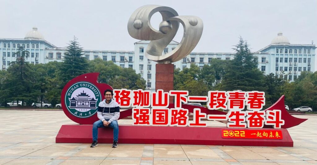
I began my academic career at Zhengzhou Institute of Surveying and Mapping, where I earned my BSc in Engineering Surveying in 1985 and MSc in EDM in 1988. Years later, in 2014, I pursued further studies and received a Master of Philosophy from Peking University. Education has always been the foundation of my career, providing me with the technical expertise and problem-solving skills necessary to navigate the evolving landscape of geospatial sciences.
My career has been diverse, spanning universities, state-owned enterprises, foreign-invested companies, and private businesses. This wide-ranging experience has given me a unique perspective on the development and application of geospatial technologies. Throughout my journey, I have worked in research, technical development, and international cooperation, each experience shaping my understanding of the industry and its future.

Currently, I am privileged to serve in multiple leadership roles within the geospatial community. As a member of the Steering Committee for Surveying and Mapping in Colleges and Universities of the Ministry of Education, China, and as Secretary General of the Working Committee on International Exchange and Cooperation of CAGIS, I actively contribute to shaping policies and fostering collaboration within the industry. Additionally, my role as Vice Director of the Education Committee of CSGPC and President of the Deqing Association for Geospatial Information Professionals allows me to bridge academia and industry, ensuring that education aligns with real-world needs.
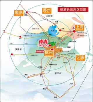
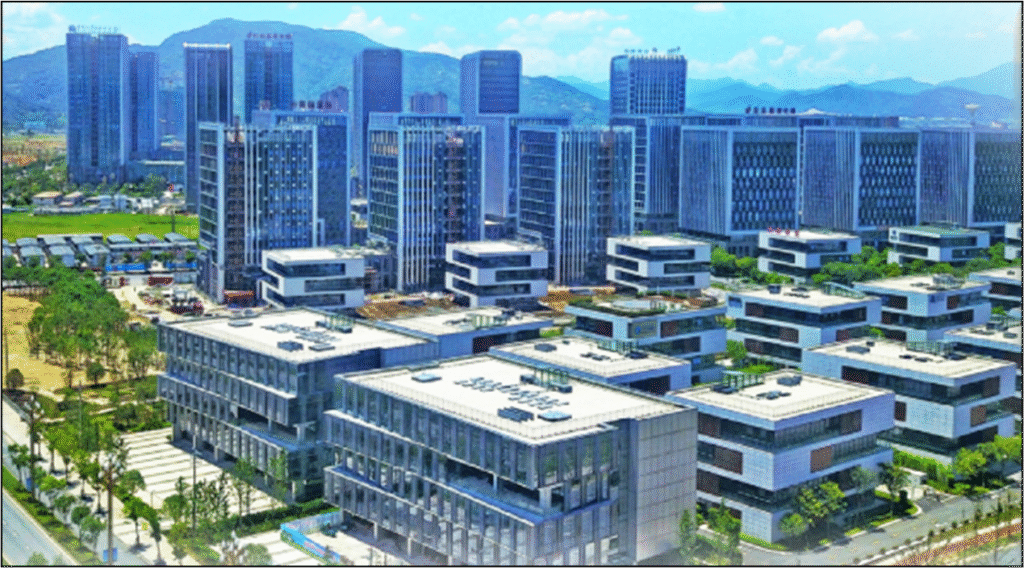
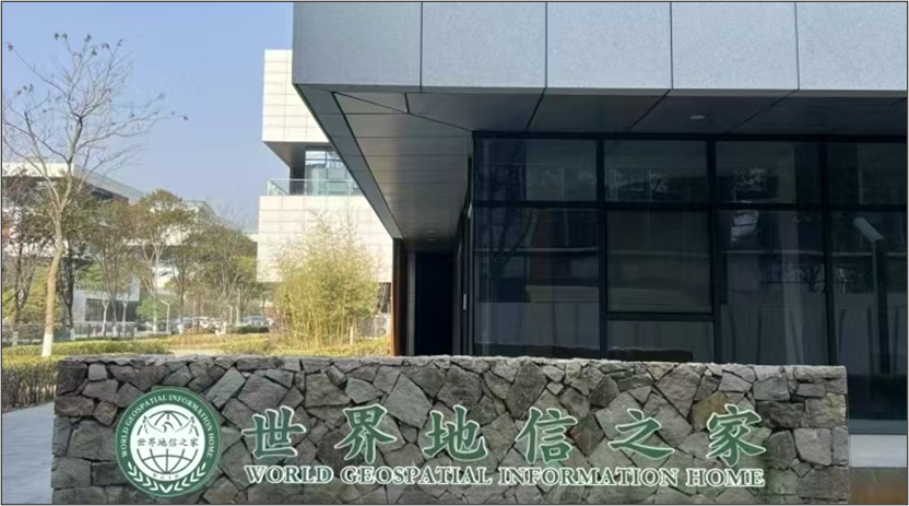
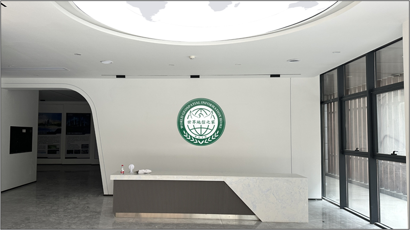
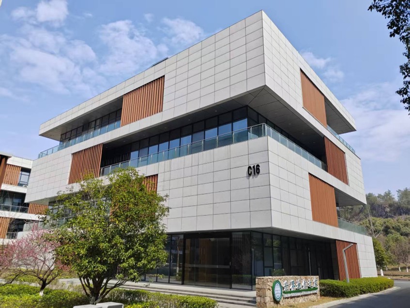
In August 2024, with the strong promotion of the Deqing County Government, the “World Geospatial Information Home” (WGIH) was established in Deqing Geospatial Information Town. The goal of WGIH is to promote the internationalization of Deqing’s geospatial information industry, share China’s geospatial achievements with the world, and foster pragmatic cooperation in the field. WGIH aims to attract geospatial-related associations, societies, and institutions from across the globe, particularly from Belt and Road countries, to set up representative offices in Deqing Geospatial Information Town.
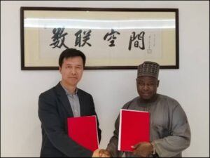
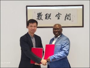
As part of this initiative, several prestigious geospatial organizations from various countries have already established their representative offices in Deqing, further strengthening international collaboration and knowledge exchange. These representative offices serve as a bridge between their respective regions and China’s geospatial industry, facilitating partnerships, research collaborations, and knowledge-sharing platforms.
Representative Offices
- The Licensed Surveyors Association of Ghana, LiSAG
- The Northern Surveyors Forum (NSF), Nigeria
- Mongolian Geospatial Association, MGA
- The Institution of Surveyors of Uganda, ISU
- Association of Legal Entities «Association of companies in the field of Remote Sensing of the Earth», Kazakhstan, RS Association
- Botswana Institute of Geomatics, BIG
- Society of Geo-Information and Remote Sensing, Pakistan, SOGIRS
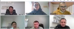

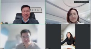
The establishment of WGIH was both a challenging and rewarding process. One of the key difficulties was ensuring that the initiative gained recognition and trust from global stakeholders. By actively engaging in international cooperation, hosting geospatial professionals at Chinese expos and conferences, and promoting joint education programs between universities and enterprises, we successfully created a hub that facilitates global collaboration in geospatial information.
For those aspiring to succeed in the geospatial industry, I emphasize the importance of both technical and soft skills. A strong foundation in surveying, mapping, remote sensing, and GIS is essential. However, beyond technical expertise, adaptability, cross-cultural communication, and an international perspective are critical. The geospatial field is global, and professionals who can navigate different cultures and work across borders will find themselves at an advantage.
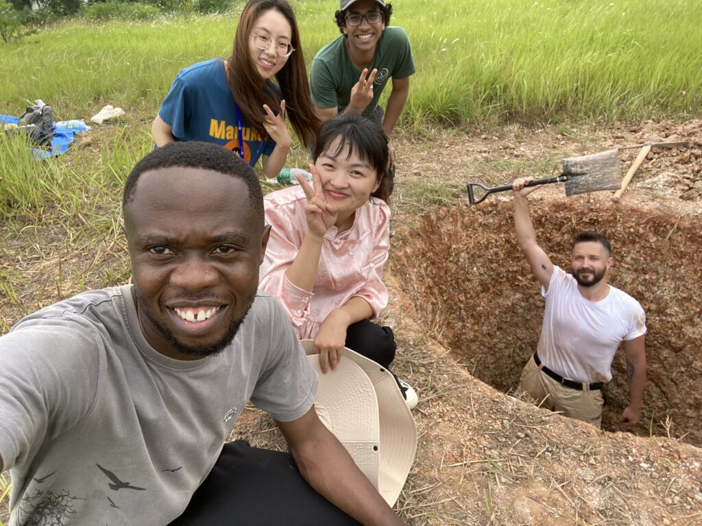
For international students pursuing geospatial studies in China, my advice is simple: embrace the experience fully. China offers world-class education in geospatial sciences, but success depends on more than just academic performance. Engage with industry professionals, attend conferences, and seek out internships that allow you to apply your knowledge practically.
Additionally, language and cultural understanding play a crucial role. Learning Chinese, even at a basic level, can significantly enhance your experience and open doors to more opportunities. Networking is key—build connections with professors, fellow students, and industry leaders. The relationships you cultivate during your studies can be invaluable in your future career.
The geospatial industry is at the forefront of technological advancement, playing a crucial role in everything from urban planning to disaster management and environmental monitoring. For students and young professionals, the opportunities are limitless. Stay curious, be proactive, and most importantly, contribute to the global geospatial community. The future of this industry lies in collaboration, and together, we can shape a better, more connected world.